Welcome to An Odd View From Above
Real Time Construction Progression
Staying informed on your construction project doesn’t require being on-site. With advanced UAV data‑capture workflows, you get precise, repeatable, and high‑resolution visual intelligence delivered straight to you.
Using today’s professional‑grade drone systems, I create automated flight paths during the initial survey of your build. These routes lock in altitude, camera angle, GPS position, and flight speed. Once saved, they can be executed repeatedly with centimeter‑level consistency.
That means your progress updates—whether daily, weekly, or monthly—are captured from the exact same perspectives every time. The result:
consistent still imagery for accurate visual comparison
stabilized, repeatable video passes that clearly show progression
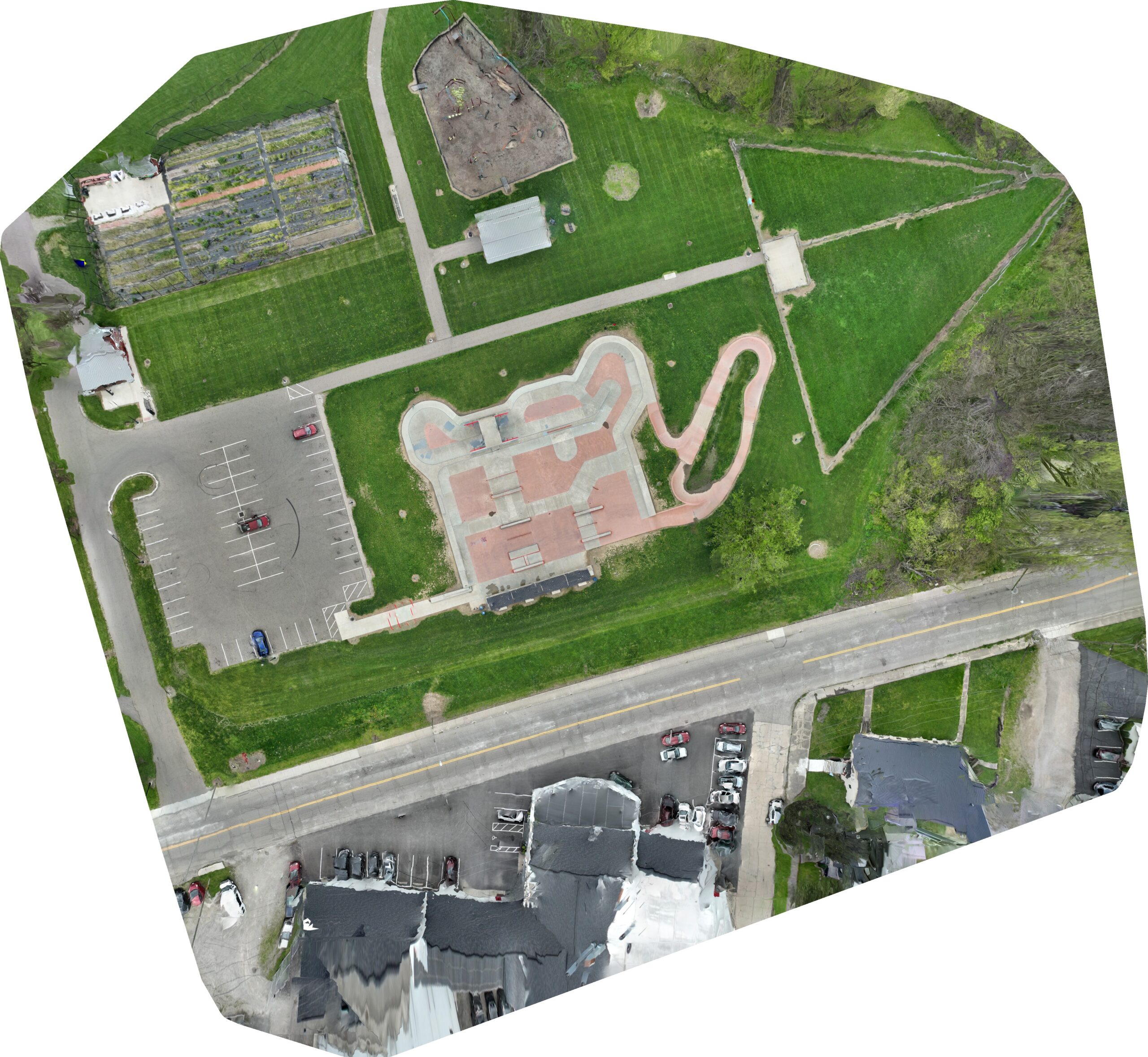
2D orthomosaic models generated from identical flight parameters
This level of repeatability gives you reliable, data‑driven insight into how your project is advancing. Every update I deliver provides a clear, technical, and verifiable record of your build’s progress.
Still Imaging
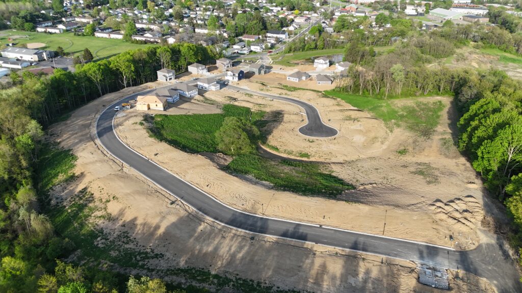
With saved flight paths, your drone becomes a repeat visitor to the exact same shot locations — like a super‑reliable photographer who never forgets where to stand. Whether you want daily, weekly, or monthly check‑ins, the drone captures identical angles every time, making it easy to spot changes and track progress with just a quick look. It’s progress monitoring that’s accurate, consistent, and honestly… pretty cool to watch unfold.
Video Timelapse
Just like with still photos, drones can follow the same flight path over and over — but this time, you get the movie version. By flying identical routes, your drone captures smooth, matching video clips that can be turned into daily, weekly, or monthly timelapses. It’s like watching your entire job site fast‑forward through its own transformation, giving you a quick, satisfying look at how fast things are moving.
2 Dimensional & 3 Dimensional Modeling
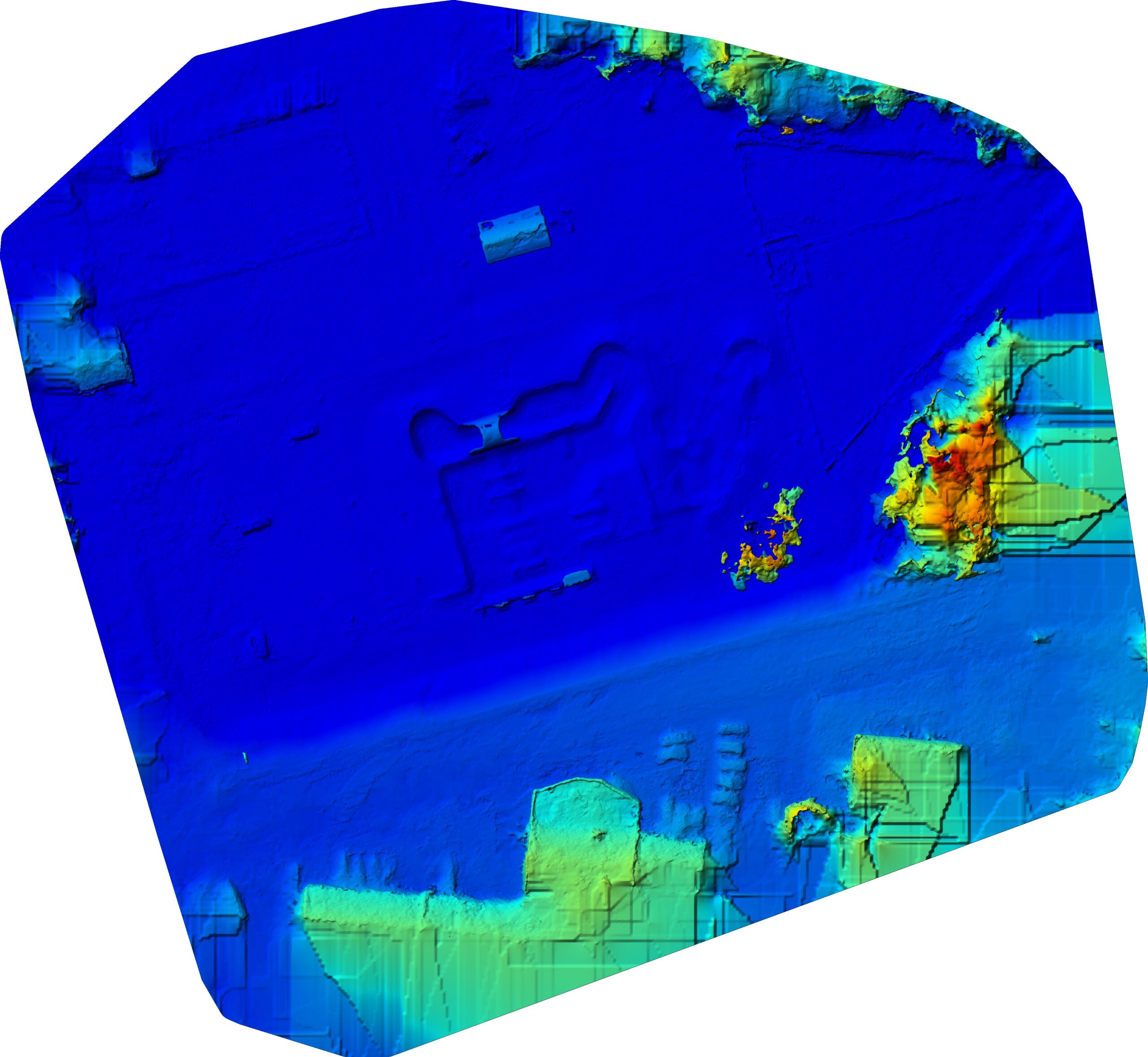
Drone modeling transforms your job site into a fully digitized environment powered by advanced photogrammetry and spatial analytics. With each flight, the system generates precise 2D orthomosaic maps and detailed 3D reconstructions that let you analyze material pile volumes, track equipment movement, and visualize site changes with scientific accuracy.
Need a quick read on site activity? A 2D orthomosaic delivers a data‑rich, high‑resolution snapshot in seconds. Want deeper insight? Switch to 3D modeling and explore a fully interactive digital twin of your project, giving you a high‑tech, real‑time perspective on progress that feels like stepping into the future of construction management.